Early Modern Cartography of Safavid Iran in Hand Colored Map Persici Vel Sopho Rum Regni Typus, 1606
Posters, Broadsides, Prints, Maps, &
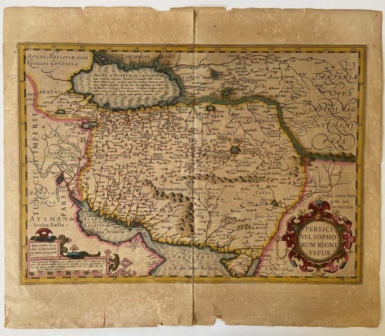
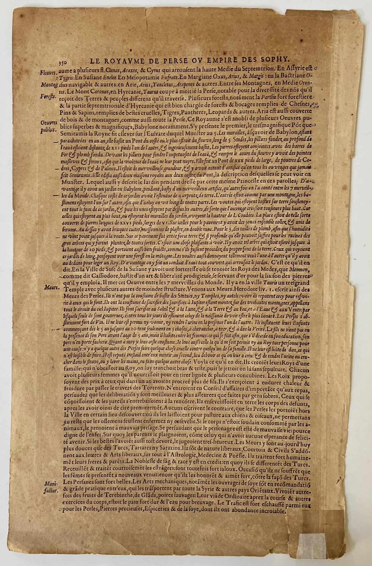
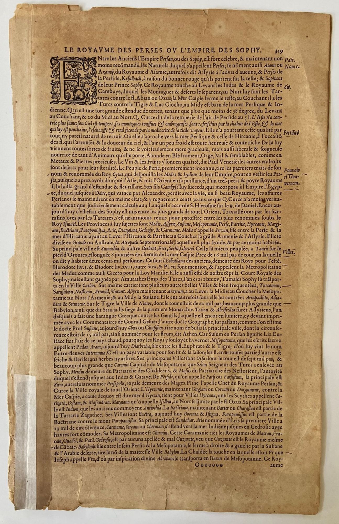
Persici Vel Sopho Rum Regni Typus, 1606, presents an early seventeenth century European cartographic rendering of Safavid Iran, documenting how Persia was geographically understood and visually represented during the height of Safavid political authority. The map identifies the region within a broader network of imperial borders extending toward Russia and India, and includes Kabul within the Persian sphere, reflecting contemporary geopolitical conceptions rather than modern national boundaries. The Caspian Sea is depicted horizontally, indicating an early stage in European geographic knowledge prior to the standardization of its vertical orientation. The Persian Gulf appears under the Latin designation “Sinus Arabicus,” demonstrating period naming conventions and the fluidity of regional terminology in European mapmaking. Produced during the Age of Discovery, the map participates in the circulation of geographic knowledge that accompanied expanding diplomatic, commercial, and intellectual engagement between Europe and the Islamic world.Hand colored engraved map, dated 1606, measuring approximately 21.5 x 18 inches, with text in Latin. The composition includes detailed delineation of mountain ranges, waterways, and settlements, the latter indicated by small colored markers distributed across the landscape. Decorative cartouches frame descriptive text, including a prominent circular panel reading “Persici Vel Sopho Rum Regni Typus.” Verso contains French text referencing “le royaume des perses of l’empire des sophy,” further situating the map within a European print context of translation and dissemination. The map is rendered in shades of pink, gold, and turquoise, with coloring applied by hand at an undetermined date.
Issued during the Safavid dynasty, which maintained extensive political and dynastic connections across the Caucasus and surrounding regions, the map reflects both European interest in Persia and the integration of Persian territories into broader early modern world mapping traditions. Its geographic features and naming conventions provide evidence of evolving European understanding of the Middle East and Central Asia during a period of intensified cross cultural contact. Central fold mark present, with a few small tears along the lower edge not affecting image or text. One small ink mark at left margin, also not affecting the image. Colors remain strong and impressions clear. Overall very good.
Item #18226
Price: $750.00
See all items in Iran
See all items in International & Global Culture
See all items by Geography
See all items in Iran
Suggested IranBrowse All

Suggested International & Global CultureBrowse All


![Truffaut’s Baisers Voles [Stolen Kisses] Vintage Original Film Pressbook. Francois Truffaut.](https://maxrambod.cdn.bibliopolis.com/pictures/16688.jpg?width=320&height=427&fit=bounds&auto=webp&v=1665096220)

