Allied Operational Maps of Germany and France, 1943–1944: A U.S. Soldier’s Archive Used in the Liberation of Europe, materially linking frontline navigation, aerial bombardment, liberation campaigns, and the geopolitical reconfiguration of Europe under the expanding Soviet Bloc.
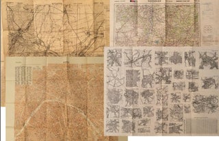
Archive of nine large original World War II maps used by a United States Army soldier in the European Theater of Operations during the Allied liberation of Western Europe. Lithographed military maps, variously issued by U.S. Army and War Office agencies, 1943–1944. Large formats ranging from approximately 19" x 24".....